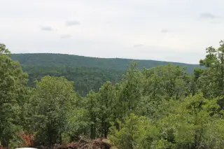
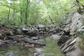
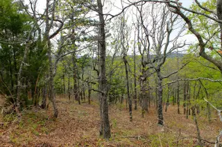
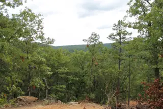
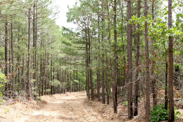
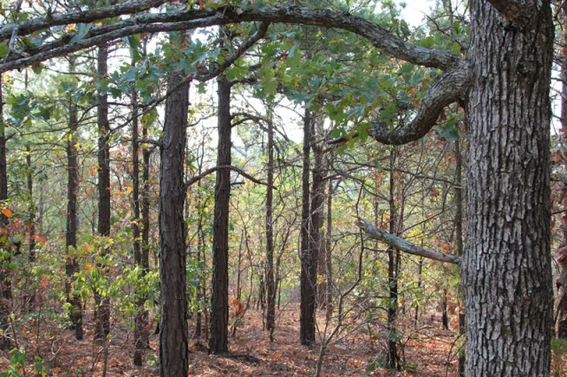
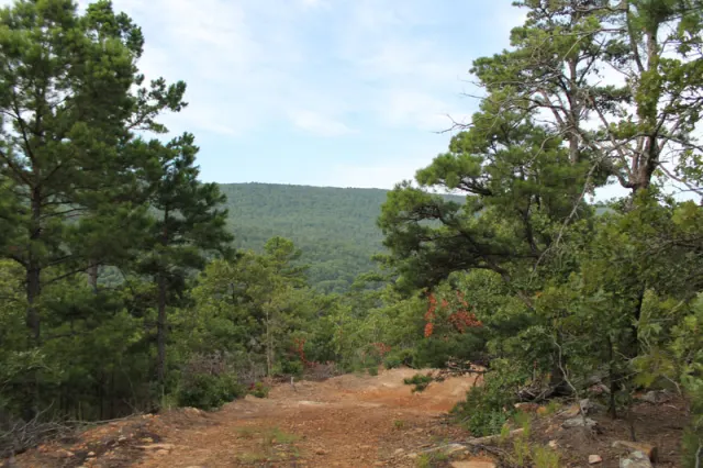
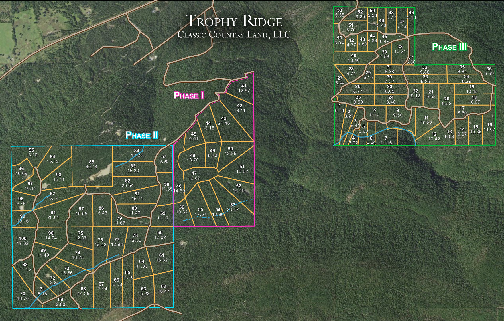
Trophy Ridge is perched on the western edge of the vast Ouachita Mountain Range in Southeastern Oklahoma in Pushmataha County. The property has access via OK-43 on the north which leads into the Indian Nation Turnpike to the west just outside of Daisy, OK for easy driving from both North Texas or Oklahoma. This property is located along the top ridge of Flagpole Mountain which allows for great water views. The land within phase I and II is relatively flat while phase III is quite mountainious and can be steep to rolling with numerous wet weather creeks that traverse the property. Maxwell Creek runs along the southern boundary of this property. A new road system has been established to access all private land tracts. Oak and shortleaf pine are the most dominant trees that cover the landscape of this fully wooded mountain property. Phase I & II does not require a 4WD vehicle to access the property, but Phase III does to access this portion of land. Pushmataha County is known as big deer country and this property is positioned right in the middle of some unbelievable mountains. There are several ideal wet weather runoff creeks that traverse the property during wet seasons. Sardis Lake is simply a mile from the property and a public boat ramp on the lake is a short mile down the road. Sardis Lake is also an outstanding place to water ski with great protection from surrounding mountains and several isolated coves to the north.
Feel free to go and visit in person! Please type your address in the box below to get Google Maps generated directions to the property.
Some properties have locked gates, so please contact us before making the trip!